
LYNEports Launches Full Aviation Infrastructure Planning Platform
Aviation infrastructure technology company LYNEports has launched the full version of its planning software, bringing tools for airports, heliports, vertiports, drone infrastructure and aviation-related real estate development into a single platform.
The launch concludes a public beta that began in May 2025. The software is designed to help users assess whether a proposed site can support aviation before progressing to detailed design or investment.
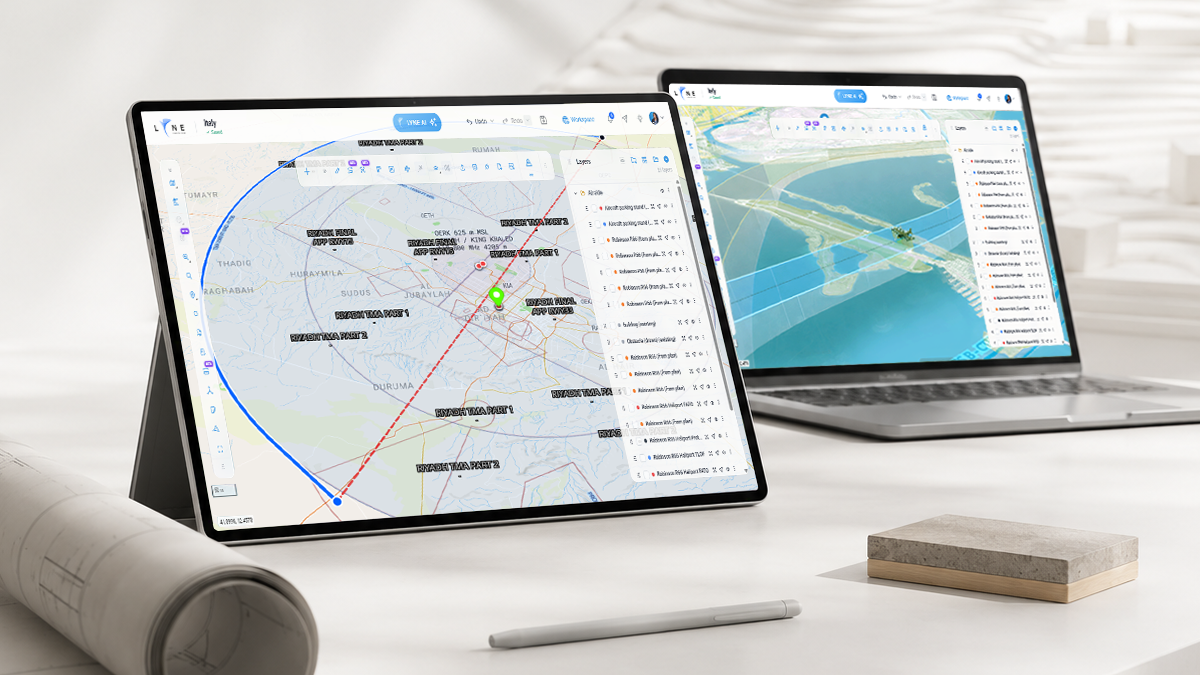
LYNEports combines regulatory information, aircraft requirements, site constraints and aviation operations within the same planning environment. Users can create 2D layouts and 3D models while considering factors including terrain, obstacles, wind, surrounding development, utilities, grid access and emergency requirements.
The software also contains tools for CO2 emission calculation, terrain and obstacle simulations, fire and emergency provision, grid access, safety, and comparisons between different sites within the system to find weak links or potential shortfalls.
The platform also includes airspace analysis and VFR and IFR flight planning. Users can examine current and historical flight activity around a proposed site, generate routes and assess how planned operations could interact with existing traffic.
Rasha Alshami, CEO and Managing Director of LYNEports, said that the reasoning behind the software was to streamline multiple tools into a single planning environment.
“…ten different tools open, regulatory frameworks on one screen, aircraft specifications on another, drawings somewhere else, and spreadsheets holding the rest together. Technology should be doing more of that work for us. Specialists should have more time to think about safety, third parties, operations and the decisions that actually require judgement.”
Another component is digital simulation, allowing aircraft and ground vehicle movements to be tested against proposed layouts before physical infrastructure is built. LYNEports says the tools are intended to help planners evaluate clearances, circulation and different operational scenarios during the design process.
Environmental considerations are also included, with estimated CO2 emissions available for planned flight routes. This allows emissions to be compared alongside route, aircraft and operational choices during the planning stage.
The platform incorporates LYNEports’ AirWorthy Readiness framework for assessing individual sites and real estate portfolios. Developers and infrastructure owners can compare multiple properties, identify aviation-related constraints and use rough-order-of-magnitude cost estimates when deciding which sites warrant further investigation.
Regulatory Framework Intelligence, which can apply selected regulatory requirements and aircraft characteristics to proposed designs, is currently available to Enterprise customers.

